Stanley Park Seawall: A Vancouver Photo Guide
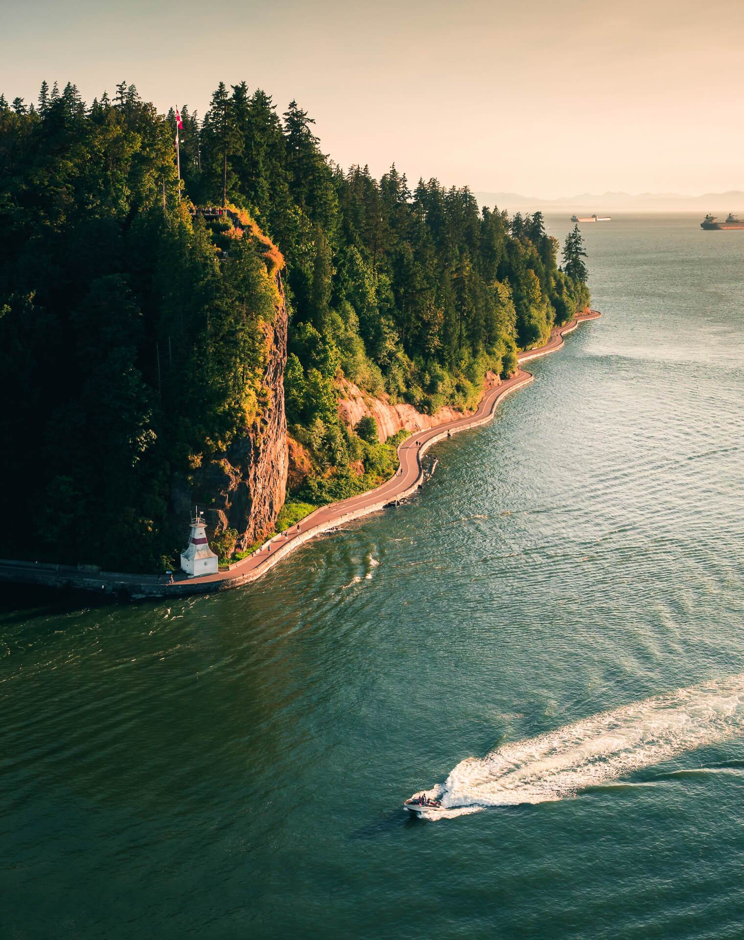
The Seawall wraps a rainforest the size of a small town right at the edge of downtown — and packs several of Vancouver’s best frames into one flat loop. Here’s how to shoot it.
The essentials
| Where | Stanley Park, edge of downtown |
| Cost | Free · park by Coal Harbour or English Bay |
| Best light | Golden hour into sunset |
| The loop | ~9 km full circle; flat and paved |
| Getting around | Walk or bike (rentals nearby) |
The stops, in order
Prospect Point
The high northwest corner, looking over Lions Gate Bridge and the inlet — best in soft evening light.
Siwash Rock
A sea stack just offshore with a lone tree on top — a distinctive natural frame along the west side.
Brockton Point
The totem poles and a small lighthouse, with downtown across the water — a cultural and skyline two-for-one.
English Bay side
Open west-facing beaches for the actual sunset over the water.
💡 Local tip: The park is big — rent a bike to cover the full loop in one golden hour, or pick two adjacent stops (Prospect Point + Siwash Rock) if you’re on foot and short on light.
Make it a story
Water, bridge, and forest in one place make couples and families look cinematic — a Vancouver proposal favourite. See our proposal photography page.
Plan your shoot
👉 Book a Vancouver Photographer →
👉 See Vancouver Photography Packages →
👉 See the best photo spots in Vancouver →
FAQ
How long is the Stanley Park Seawall? The full loop is about 9 km — flat and paved. Biking lets you hit every viewpoint in one session; walking, pick a couple of adjacent stops.
Where’s the best sunset in Stanley Park? The English Bay / west side faces the water for sunset; Prospect Point is better for soft light on Lions Gate Bridge just before.